The Major U.S. Oil & Gas Basins: A Field Guide to the Map
Energy production is intensely geographic. A handful of sedimentary basins account for most U.S. oil and gas output, and each has its own geology, history, and character. Here is a plain-language tour of the ones you will hear about most.
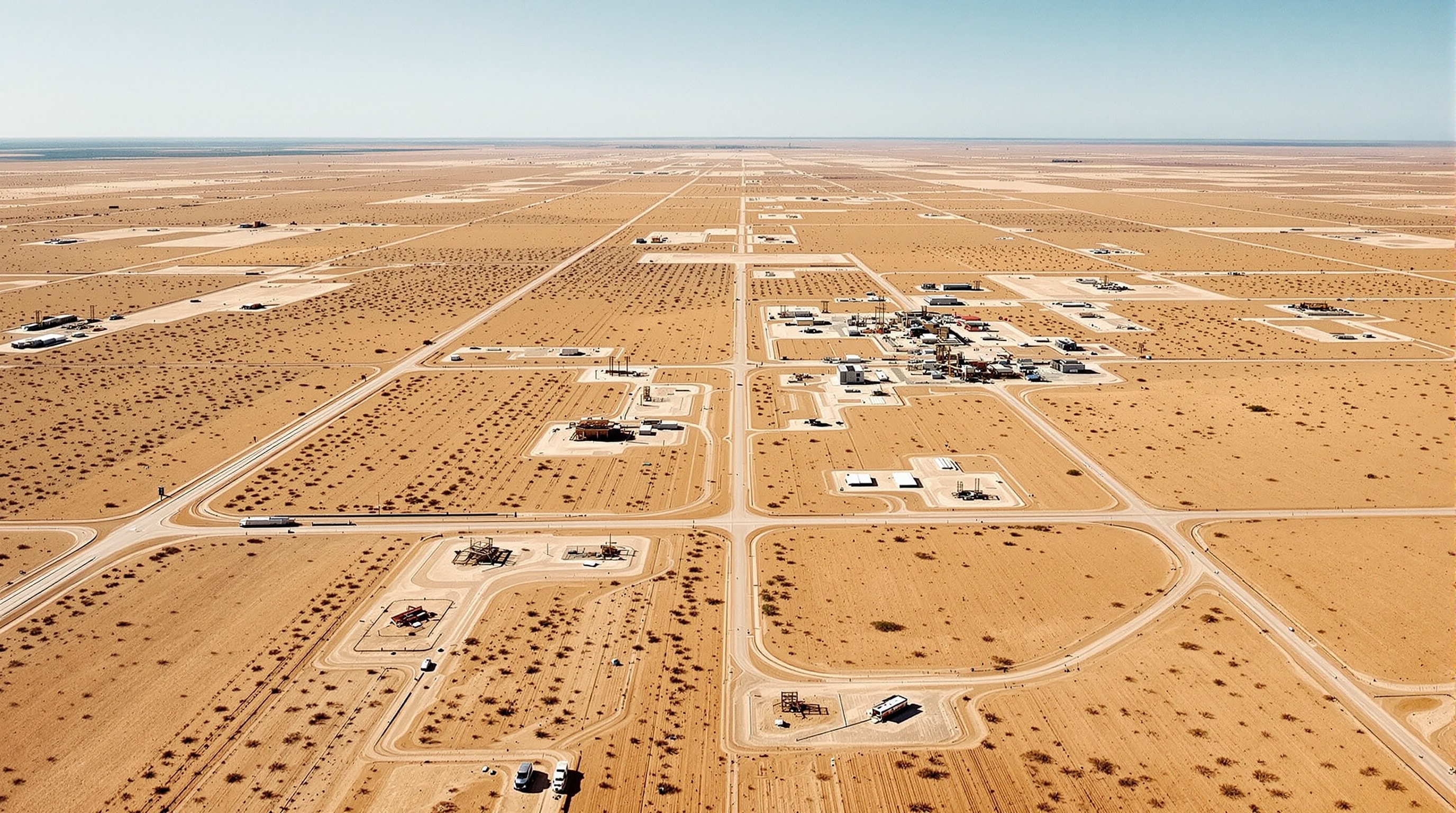
What a “basin” is
A sedimentary basin is a large, low region of the Earth's crust that filled with sediment over geologic time. Those thick sediment stacks are exactly where source rocks, reservoirs, and seals accumulate, so basins are the natural home of oil and gas. A single basin can contain many named formations and “plays” — specific productive layers targeted by drillers. The EIA's Drilling Productivity Report tracks activity across the most important ones.
The Permian Basin
Straddling West Texas and southeastern New Mexico, the Permian is the giant of American oil. It has produced for roughly a century, but stacked shale and tight-oil targets — the Wolfcamp, Bone Spring, and Spraberry among them — turned it into the most active drilling region in the world. Its defining feature is depth and stacking: multiple productive layers sit atop one another, so a single location can be developed many times over. When people talk about surging U.S. crude output, they are usually talking about the Permian.
The Eagle Ford
The Eagle Ford, a shale play arcing across South Texas, was one of the earliest unconventional success stories. It is prized for its variety: different parts of the play produce dry gas, wet gas, condensate, or light crude depending on how deep and how thermally mature the rock is. That flexibility let operators chase whichever product was most valuable at the time, and it made the Eagle Ford a proving ground for horizontal-drilling and completion techniques that spread elsewhere.
The Bakken
Centered on North Dakota and Montana in the Williston Basin, the Bakken put light, sweet crude from the Northern Plains onto the national stage. Because it developed faster than pipelines could be built, the Bakken also drove a boom in moving crude by rail — a vivid example of how infrastructure, not just geology, shapes an industry. Its remote location and harsh winters make it a distinctive operating environment.
The Anadarko Basin
Spanning western Oklahoma and the Texas Panhandle, the Anadarko is a deep, prolific gas-and-liquids basin with a long history. Plays such as the SCOOP and STACK drew heavy activity during the shale era. The Anadarko is a reminder that many basins were serious producers for decades before horizontal drilling gave them a second act.
The Denver-Julesburg (DJ) Basin
The DJ Basin of northeastern Colorado, focused on the Niobrara formation, sits unusually close to a large metropolitan area along Colorado's Front Range. That proximity makes it a case study in balancing energy development with suburban growth, and it has some of the most closely watched setback and permitting rules in the country. It produces both oil and associated natural gas.
Why the geography matters
Each basin's mix of product, depth, and location shapes costs, emissions, pipeline needs, and even politics. A barrel from the Permian, the Bakken, and the DJ are not interchangeable in practice — they differ in quality, in how far they must travel, and in the rules that govern them. Understanding the map is the quickest way to understand why one region booms while another stalls. To see how these barrels are priced once they leave the field, read our overview of energy markets; to understand the drilling that unlocked them, revisit shale and unconventional resources.